Geocaching Sneaks in More Walking Distance Than Most Hunters Realize
Quick Answer: Geocaching racks up far more walking than the map suggests — often two to three times the straight-line distance to the coordinates. GPS drift forces close-range searching, terrain forces detours, and every cache in a multi-find outing adds its own search radius. Wear a tracker for one full outing and the real number will surprise you.
The map says the cache is 0.4 miles from where you parked. You get back to the car ninety minutes later, glance at your watch, and it says 3.1 miles.
You didn’t take a wrong turn. That’s just what the activity actually is.
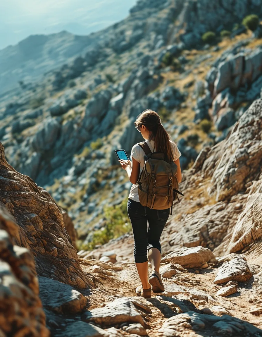
Why Does Geocaching Cover So Much More Distance Than the Map Shows?
Three separate multipliers stack on top of each other, and none of them appear on the route line.
GPS accuracy limits force real close-range searching. Consumer GPS typically lands you within a general area rather than on the exact spot. Once you’re “there,” the actual finding begins — circling, widening out, coming back. That search phase can easily cover more ground than the approach did.
Terrain forces detours a straight map line never reflects. A creek, a fence, a thicket, a drop-off. The map draws through them. You walk around them.
Multiple caches compound. Each find in a session brings its own approach, its own search radius, and its own return. Four caches in an afternoon isn’t four times the map distance — it’s four times the map distance plus four search phases.
What Does the Movement Actually Look Like Near a Cache?
Highly non-linear, and disproportionate to how small the search radius sounds.
Picture the last 100 feet. You approach, the arrow spins, you overshoot, you come back, you circle the obvious tree, you widen out, you check the stump you already walked past twice. Plotted on a map, that’s a scribble, not a line — and a scribble covers real distance.
Then add elevation. In hilly terrain, flat-distance measurement misses the climbing entirely. Two caches on a wooded slope can involve a few hundred feet of gain that never shows up in “0.4 miles.”
Backtracking is the quiet one. You reach the general area from the wrong side, realize the approach is on the other side of a ravine, and walk back around. That single correction can double an approach.

What Nobody Tells You About Geocaching as Exercise
Nobody tells you that the stop-start pattern is why it doesn’t feel like exercise. Steady walking registers as effort. Walk-search-crouch-walk-search doesn’t, because no single segment is long enough to feel like a workout. The total is often larger than a deliberate walk you’d have described as “a proper hike.”
Nobody tells you that crouching and reaching is half the activity. Kneeling at stumps, reaching under ledges, standing back up — dozens of times per outing. That’s genuine lower-body work nobody logs.
Nobody tells you that your personal multiplier is stable enough to plan around. After a few tracked outings, most people find their own consistent ratio between planned and actual distance. It’s a useful planning number, especially for water and daylight.
And nobody tells you that an “easy” 1.5-star terrain cache can still cost you a mile if the GPS drifts and the hide is clever.
How Do You Track the Real Number?
Stop estimating from planned map distance. Estimates are exactly what’s wrong here.
Wear a fitness tracker or run a phone tracking app for a full outing, car door to car door. Include the walk back, the false starts, and the cache you gave up on. That total is the honest figure.
Do it across three or four outings in different terrain before drawing conclusions. Your multiplier in flat urban park caching will look nothing like your multiplier on a wooded ridge, and your own search style matters too — methodical grid searchers cover different ground than people who circle.
Then use the number for planning. If your typical multiplier is 2.5×, a day with six caches at a planned 0.5 miles each isn’t a 3-mile afternoon. It’s closer to 7.5, which changes how much water you bring and when you should turn around.
Practically: dress for real walking rather than a short stroll. Pockets matter more than you’d think when your hands are busy — a lot of cachers end up in high waist leggings with pockets or similar for exactly that reason, since a phone you have to dig for gets dropped in leaf litter eventually.
If you’re managing a joint issue or building back from an injury, note that this is unplanned mileage on uneven ground. That’s a real load. Check with a physical therapist or doctor before treating geocaching as your gentle option.
FAQ
How many miles is a typical geocaching outing?
It varies enormously by terrain and cache density, but the useful framing isn’t a fixed number — it’s the ratio. Most cachers find actual distance runs meaningfully above planned map distance once search and backtracking are included. Track your own for a few outings to find your personal figure.
Does geocaching count as real exercise?
It’s genuine low-to-moderate-intensity walking with added crouching, reaching, and often elevation change. Whether that meets your goals depends on the goals, but the distance is real even though it doesn’t feel like a workout.
Why does my GPS keep pointing me in circles near the cache?
Tree cover, terrain, and consumer GPS accuracy limits all degrade the signal exactly where you need it most. That’s normal — it’s why the last 100 feet is a search rather than a walk.
TL;DR
- Straight-line map distance badly understates real walking distance in geocaching.
- Three multipliers: GPS-driven close-range searching, terrain detours, and per-cache search radius across a multi-find outing.
- Movement near a cache is non-linear — circling and backtracking, plus elevation that flat distance ignores.
- Track a full outing with a watch or app across a few trips to learn your own multiplier, then plan water, daylight, and turnaround around that.
Keep Reading
This article is for general informational and styling purposes only. Fit, sizing, and product availability may vary.